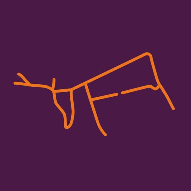
The Dorking Reindeer
Simple instructions and links to download this route as a GPS file or on OS Maps / Strava can be found below. Don't forget to tag your run or walk on Instagram #gpsreindeer and if able we'd love you to make a donation to Phyllis Tuckwell Hospice Care. Good luck and enjoy!
Summary
Terrain: Mainly pavements or paths with a section on a playing field (front lower body) and footpaths on the antlers.
Parking: St Martin’s Walk Car park is close to the front foot.
Hazards: Please note that the lower front and back body of the reindeer does not join! It’s also easy to miss the footpath off Ashcombe road taking you down the front of the reindeer.
Route tested 14th October 2023.
By downloading and taking on a route you agree to our Terms & Advice
