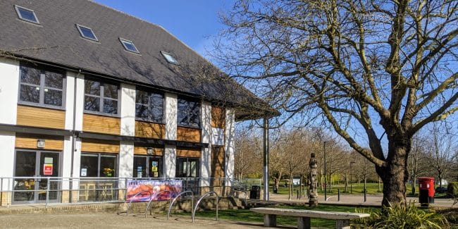
Stoughton, Rydes Hill and Whitmoor Common
A mixed terrain route taking you through the former Queen's Royal Regiment Barracks in Stoughton, Guildford (now Cardwells Keep) starting and finishing on Whitmoor Common.
Summary
Distance/Elevation
5.9km (46m)
Difficulty
Easy (1 hr 30 mins)
Average time
1 hr 30 mins
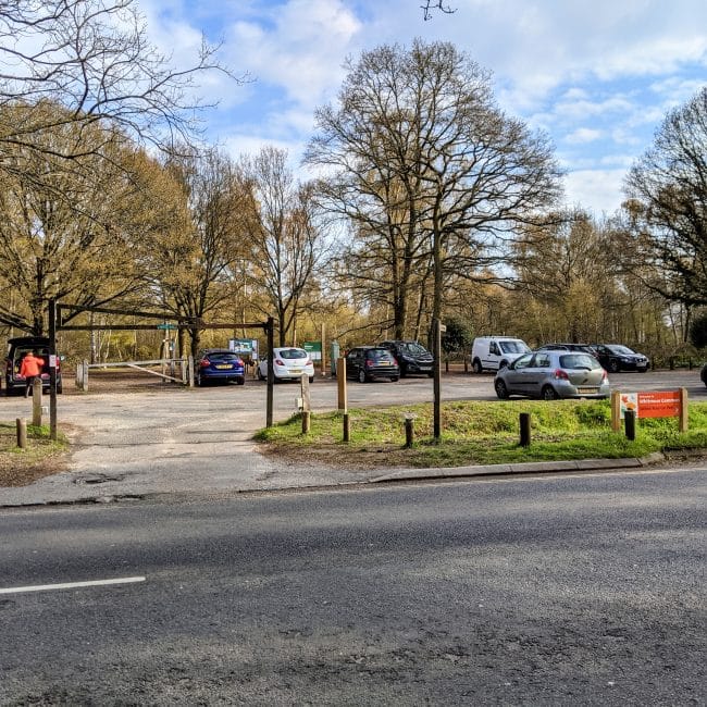
Parking
Moderate & Free
Route Advice
- Dog friendly
- Parking
- Cafe
- Shop
- Village
- Forest/woodland
- Church/cathedral
- Park
- Picnic area
- Bird spotting
- Good phone signal
- Historic site
- Great for running
Hilly Farm Permitted Right of Way near Chitty's Common
Did you know
Route Score
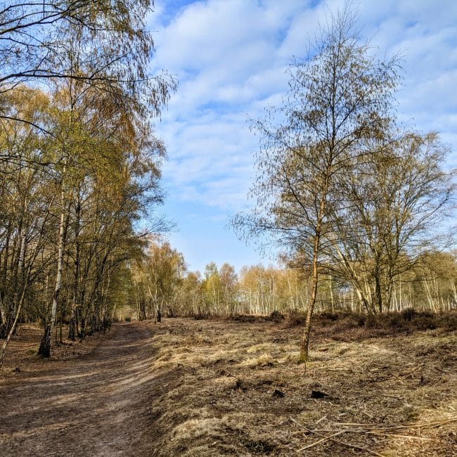
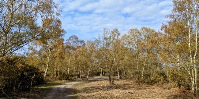
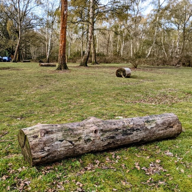
There is a beautiful stretch of woodland through Whitmoor Common
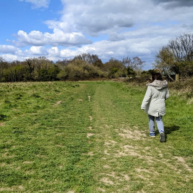
A mix of paths along the route.
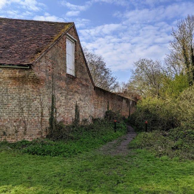
Stoughton former barracks
Route Notes
Please take care crossing Salt Box road at the very start and end of the walk!
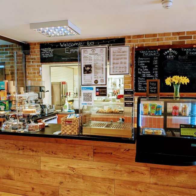
Emmanuel Cafe is normally open Monday to Thursday during term times.
The fuel stop
- Fuel Type Cafe
- Location on Route Approx 3km in
- Address Emmanuel Church, Shepherds Lane, Guildford, UK
Other Fueling Options
- The Haven Community CafeApprox. 2k in

