Normandy

Surrey

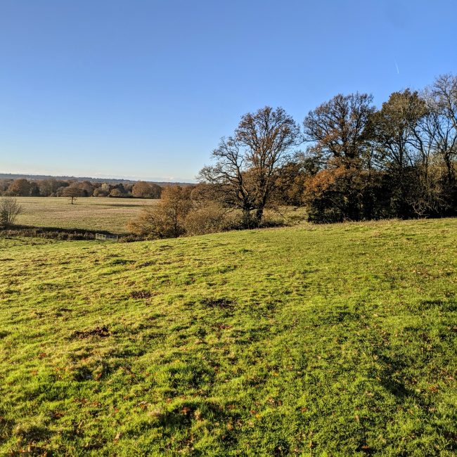
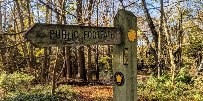
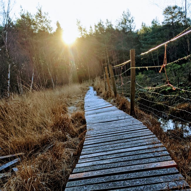
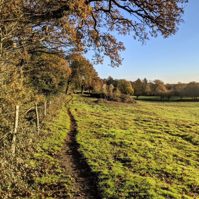
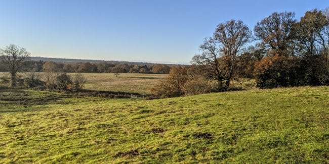
A flat and sometimes undulating route starting in Normandy that passes alongside Ash Ranges and loops around Stanford Common returning back to Normandy via Kiln Copse and the miniature "Chinese Bridge".

Summary

Distance/Elevation
10km (60m)
Difficulty
Easy (2hrs 35mins)
Average time
2hrs 35mins
Parking
Moderate & Free
Route Advice

  • Parking
  • Pub
  • Village
  • Forest/woodland
  • Potential livestock
  • Potential overgrowth
  • Mud likely when wet
  • Bird spotting
  • Farmland
  • Great for running
 
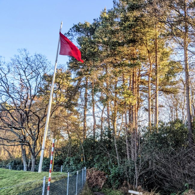
A red flag representing firing in progress within Ash Ranges
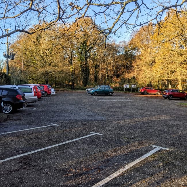
  • Starting AddressNormandy Common Car Park, Hunts Hill Road, Normandy, Guildford, Surrey, UK

Did you know

There is currently no evidence of the builder, date or even reason for the Chinese bridge but it may have been constructed around the 1890s for the benefit of gentlemen visiting Henley Park Mansion to further enjoy the hunting, shooting and fishing provided by Lord Pirbright.

Learn More

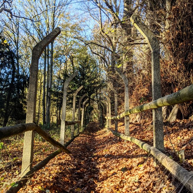
Henley Park old fence
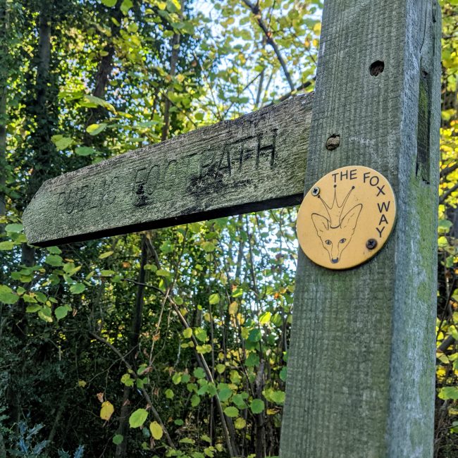
Fox Way Sign
Fox Way Sign
Stanford Common
Stanford Common
Kiln Copse
Kiln Copse

Route Score

7

7

6

6

Cobbetthill Common
Cobbetthill Common

Route Notes

The route can be reduced to a 7k coming back around the lake - View route on Strava or shorter still (3.7k) following this route on Strava.

Kiln Copse
Kiln Copse
The Chinese Bridge
The Chinese Bridge

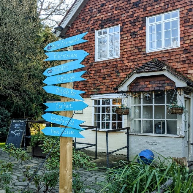
The fuel stop

  • Fuel Type Pub
  • Location on Route Approx 5km in
  • Address Royal Oak, Aldershot Road, Pirbright, Woking, UK
Rambala